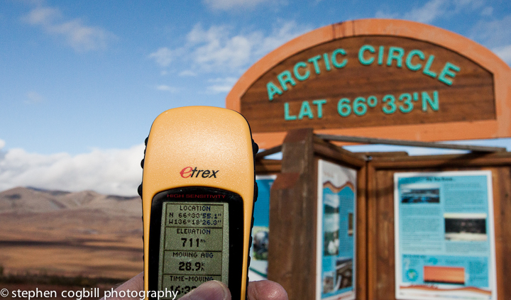
 You do not need a GPS to navigate on Canada’s Dempster Highway: you just drive north. Besides, you’re usually more concerned about the state of your tires, the gravel road, weather or proximity of grizzlies. Or soaking up the amazing scenery.
If you do switch on your GPS to record the event of crossing Arctic Circle, you can get quickly confused. First-off, the official marker saying it is at 66 deg 33 min North appears wrong. They seem to have put the thing up in a pullout 2.5km north of there.
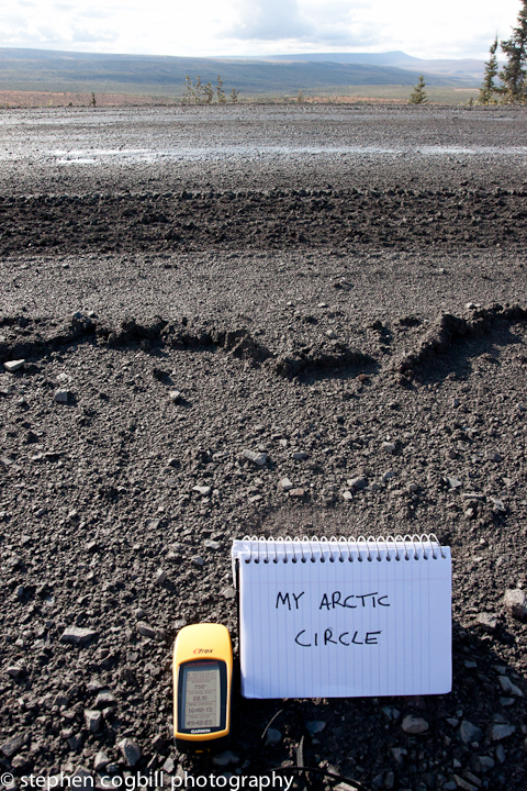
No pr oblem, i’ll just put up my own at 66 deg 33 min N.
But when you go on-line to check things, the fun really starts. GoogleEarth shows it where I have put “My Arctic Circle”. Wikipedia, however, say it’s at 66 deg 33 min and 44 secs N. That’s 2km back up the road towards the “official” marker. To make matters worse, due to a wobble in rotation of the earth, it’s also moving north up the road at 15 meters a year.
So I am now appealing to any informed astronomer, land-surveyor or geographer to let me know who is right.
Best case: someone needs to change the green lettering so it says 66 deg 34 min (not too expensive). Worst case: move the whole thing 2km south west (ouch).
I’ll let you know when i’ve figured out which!
Stephen.


